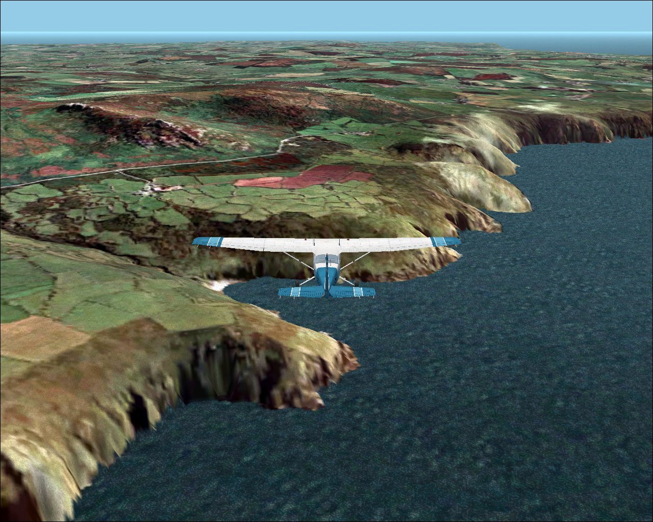
NextMap-based Terrain Mesh Scenery for England & WalesThe screenshots on this page show NextMap-based Terrain Mesh being used VFR Photographic Scenery. Those of you still not using VFR Photographic Scenery ( despite the fact that Getmapping are practically giving it away - see www.getmapping.com/flightsim ) will be pleased to hear that the NextMap-based Terrain Mesh Scenery is also designed to work with the default Microsoft Flight Simulator scenery. Click each image to view at original size (large)
The terrain mesh is based on NextMap UK 5m IFSAR radar data which is the most
detailed elevation data ever used to create Flight Simulator scenery. The mesh is compiled at the maximum resolution supported by Microsoft
Flight Simulator , so not only does it use the best source (18 times more
detailed than the sources used for other UK terrain mesh sceneries) but it
makes maximum use of Flight Simulator's capabilities - without seriously
impacting frame rates.
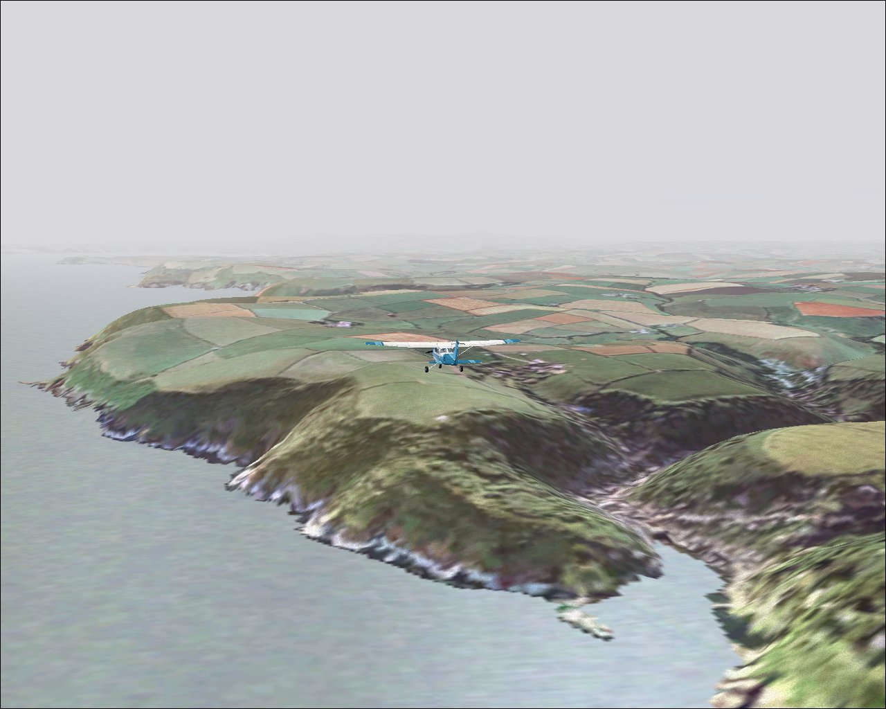
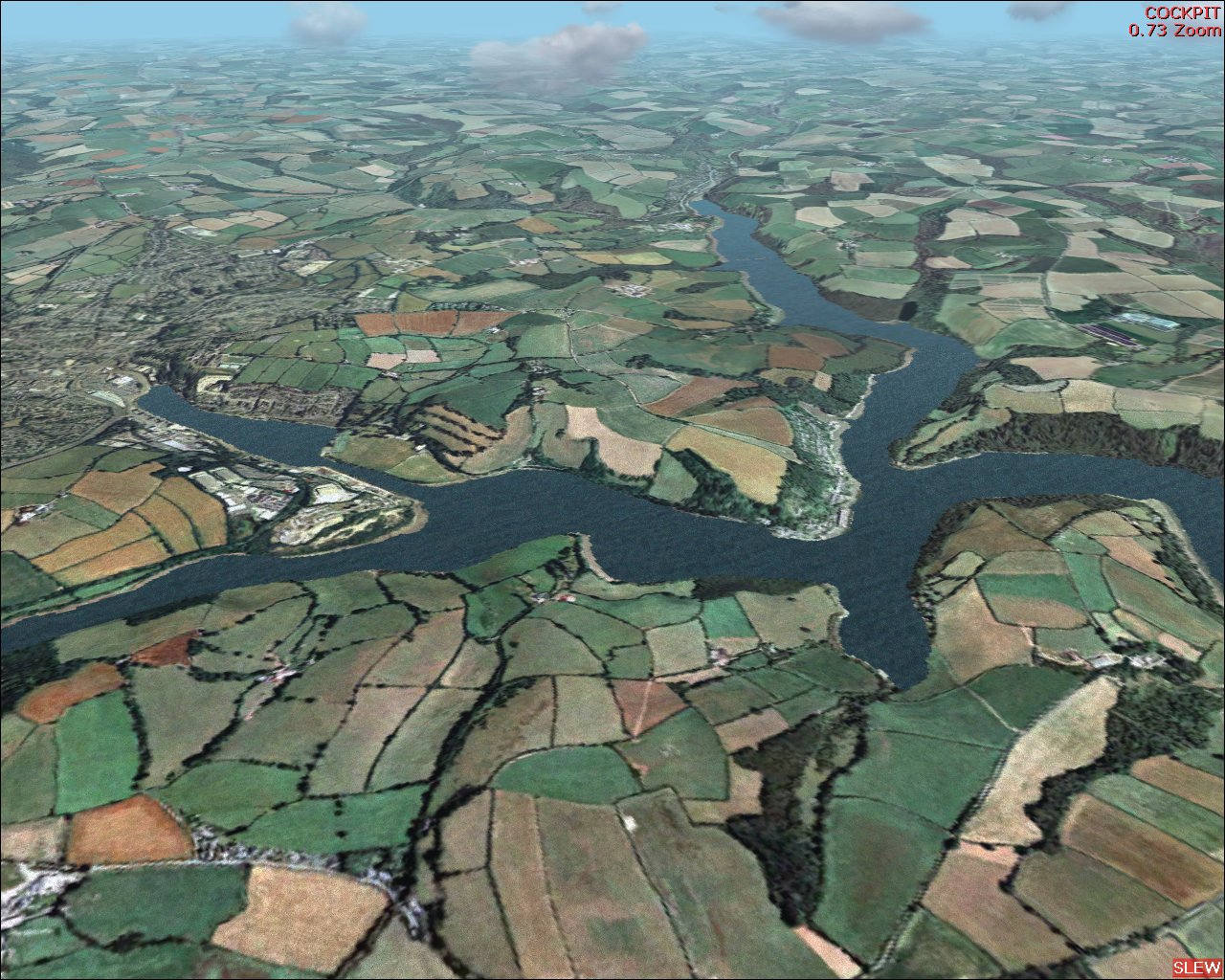
As many of you will know, terrain mesh is only part of the equation, but unlike all other terrain mesh sceneries available, this one supplies a complete terrain solution including coastline and shorelines, plus water/lake surface flattens, and hopefully - if we can fit them on the disc(s) - replacement textures for VFR Photographic Scenery users to facilitate water surface effects and float-plane landing. This will include all estuaries and rivers at least partway upstream (depending on width and other characteristics, plus all major lakes and many minor lakes, ponds and reservoirs (depending on size and other characteristics).
Naturally all the features of the scenery are accurately positioned to align perfectly with VFR Photographic Scenery, as can be seen from the screenshot below.
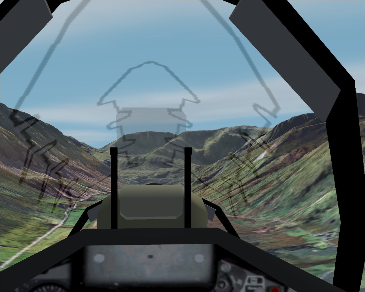
With a decent system, properly set-up, you may want to try flying the valleys,
RAF-style...
The combined effect of using the terrain mesh scenery together with the photographic scenery can be stunning - screenshots such as the one below do not fully do it justice.
If you wish to receive news of the this new terrain mesh scenery and other products developed or published by Visual Flight, you can subscriibe to the Visual Flight mailing list. Send a blank email to visualflight-request@freelists.org with subscribe in the Subject line. Copyright (C) Visual Flight 2003-2004. Photographic scenery textures copyright Getmapping plc |